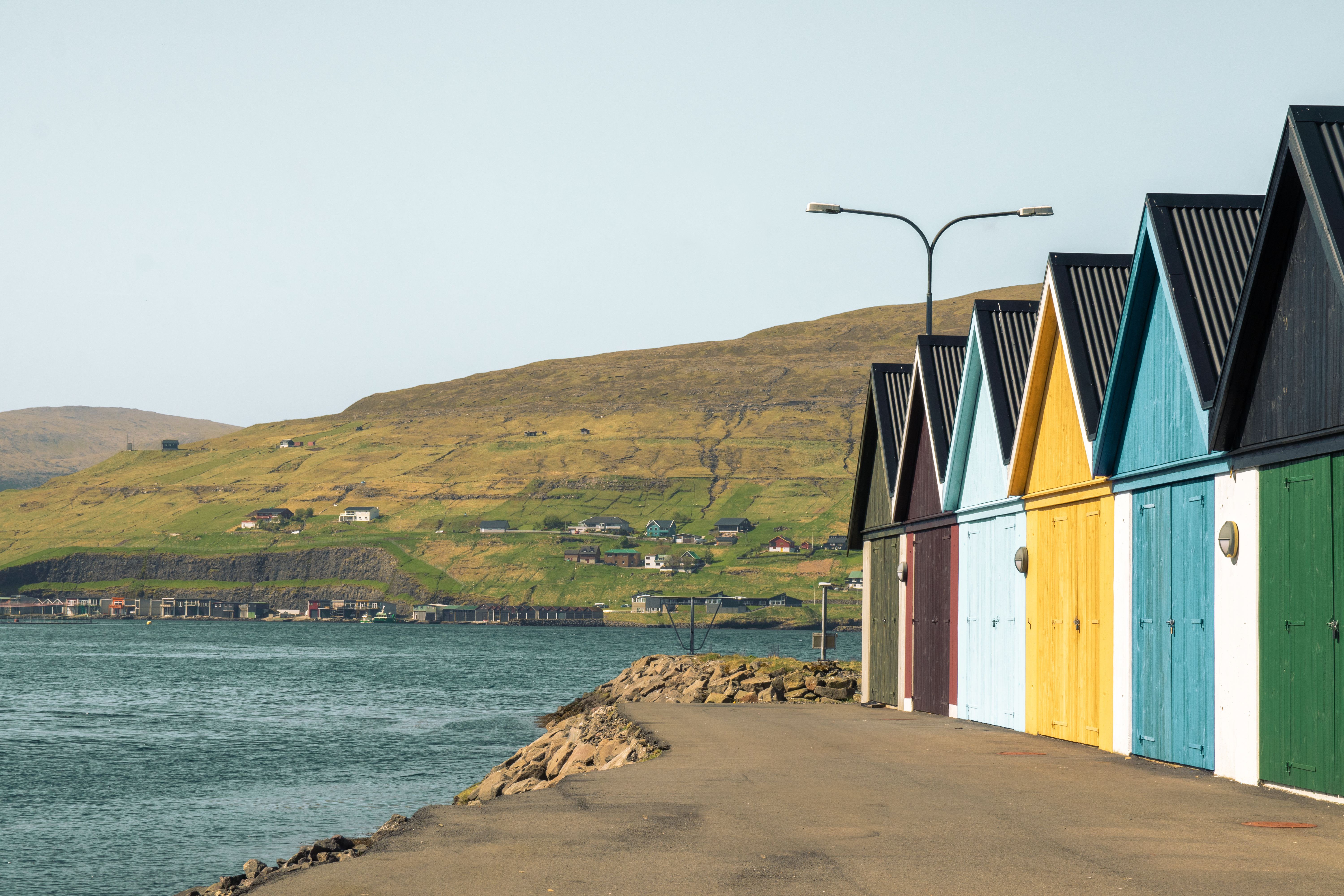
The short version: hire a car — it's the best way to explore. Islands connect by roads, bridges and subsea tunnels (the four undersea ones are tolled), with short ferries to the outer islands and a scenic helicopter for remote spots.
The Faroe Islands are remarkably well connected for an 18-island archipelago. Here's how to move around.
🚗Car hire & driving
A rental car is by far the most flexible option, and can be picked up at Vágar Airport or in Tórshavn. Book early for summer — the fleet is small. A few things to know about driving here:
- Drive on the right; speed limits are typically 50 km/h in towns and 80 km/h on open roads.
- Headlights must be on at all times, day and night.
- Watch for sheep on and beside the roads — they have right of way in practice.
- Many older mountain tunnels are single-lane with passing bays; signs show who gives way (a blue sign means you have priority, red means you yield).
- Off-road driving is prohibited to protect the fragile landscape.
🌊Subsea tunnels & tolls
Four subsea tunnels link the main islands, and all of them are tolled: Vágatunnilin (Streymoy–Vágar, to the airport), Norðoyatunnilin (Eysturoy–Borðoy, to Klaksvík), Eysturoyartunnilin (Streymoy–Eysturoy, home to the world's first undersea roundabout) and Sandoyartunnilin (Streymoy–Sandoy, opened December 2023). Bridges and most mountain tunnels are free.
Paying tolls: tolls are managed by Tunnil. With a Faroese rental car you normally settle tunnel charges through the rental company — confirm this when you collect the car. Otherwise, register your number plate and pay per trip (or by subscription) online at tunnil.fo; the Vágar tunnel is charged when driving from Vágar and the Klaksvík tunnel when driving from Klaksvík. Unpaid tolls attract a surcharge after a few days.
⛴️Ferries to the outer islands
Several islands are reached by ferry, run by Strandfaraskip Landsins (SSL):
- Mykines — from Sørvágur (seasonal, roughly May–August) for the puffin colonies. Book ahead; it's weather-dependent.
- Kalsoy — a small car ferry from Klaksvík, for the Kallur Lighthouse hike.
- Suðuroy — the larger Smyril ferry from Tórshavn (around two hours) to the dramatic south.
- Nólsoy and others — short hops from Tórshavn for a quiet island day.
A multi-day travel card covers buses and ferries (Mykines excepted) if you're relying on public transport.
🚌Buses
The national Bygdaleiðir network of regional buses reaches most villages, and within the capital the Tórshavn city buses (Bussleiðin) are free. Buses are reliable but infrequent in rural areas, so check timetables if you're car-free.
🚁Helicopter
Atlantic Airways runs a subsidised helicopter service linking Tórshavn (Vágar) with remote villages and islands such as Mykines, Skúvoy, Stóra Dímun and Koltur. It's astonishingly cheap and scenic, but seats are limited, locals get priority, and you generally can't book a same-day return — so it's more a one-way experience than a tour. Book ahead through Atlantic Airways.
Plan for the weather: fuel up before remote drives, keep a buffer day for ferry or flight cancellations, and check conditions before mountain routes — the weather turns fast here.
Getting around FAQ
It is by far the most practical option. Roads, bridges and subsea tunnels link the main islands, with ferries to the outer ones. Buses exist but a car gives much more freedom.
With a Faroese rental car you usually pay tunnel tolls through the rental company. Otherwise register your number plate and pay online at tunnil.fo. Only the four subsea tunnels are tolled; bridges and mountain tunnels are free.
Yes — the Bygdaleiðir regional buses reach most villages, ferries serve the islands, and Tórshavn city buses are free. A multi-day travel card covers buses and ferries (except Mykines).
By the seasonal ferry from Sørvágur (about May–August), or by the Atlantic Airways helicopter. Both should be booked ahead and can be cancelled in poor weather.